Using satellite images to study urban poverty and inequality in sub-Saharan Africa
In collaboration with the Swiss Data Science Center, Kenneth Harttgen from NADEL/DEC will start a new research project on using satellite images to study urban poverty and inequality in sub-Saharan Africa.
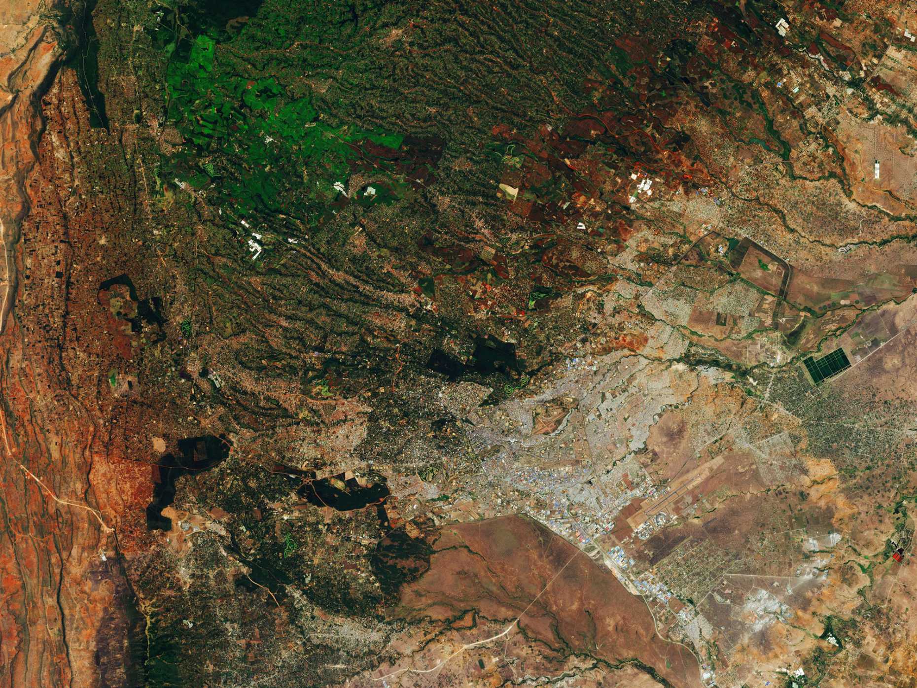
Kenneth Harttgen received a research grant from the 4th call for collaborative data science projects from the external page Swiss Data Science Center (SDSC). In collaboration with colleagues from the Swiss Data Science Zurich, Kenneth Harttgen will use statistical learning methods (machine learning) and satellite images to study urban poverty and inequality in sub-Saharan Africa for the next two years starting in July 2021.
Researchers have increasingly investigated the potential for using emerging data sources such as satellite images as well as statistical learning methods to study poverty and inequality. The goal of the project is to improve our knowledge of informal settlement locations in sub-Saharan Africa, which will in turn be used to study the impact of urban inequality on poverty and child health.